WingX app for iPhone and iPad
WingX Pro7s simple subscription model:
● VFR Free!, CFI Free!, and MilitaryFree! - only VFR flying, CFI, or Active or Retired Military? Subscription is free.
● $74.95 annual subscription (or $199.95 for 3 years)
● $74.95 for Advanced IFR Subscription
● Free: 30-day Free Period
● Free: Synthetic Vision and Fuel Prices (with current subscription)
Annual Subscription
Includes VFR Sectionals, IFR Enroute Low and High, TACs, Flyway, Helicopter, Grand Canyon, and IFR Area charts plus APDs (geo-referenced), IAPs, etc
Advanced IFR Subscription
IAP geo-referencing, IAP Routing and ChartTouch
New!
Features:
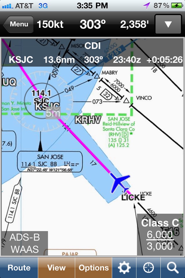
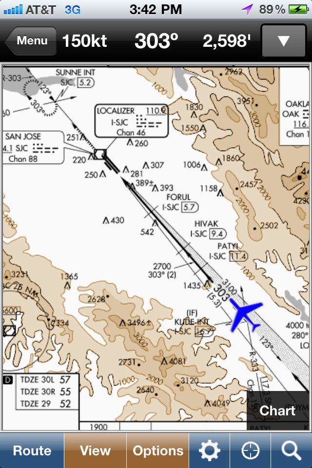
● Display Instrument Approach Procedures on the Moving Map.
● Minimum Vectoring Altitude Overlays on the Moving Map.
● New Advanced Moving Map with significant performance and stability improvements
● Visual region-based moving map data download selection. Faster downloads by downloading only what you need.
● Improved weather display - better animation, faster downloading, and vastly less network bandwidth usage
● Reworked data dissemination process to enable earlier release of cycle data, improved dual-cycle data management, dynamic real-time system configuration.
● Winner of many awards including multiple Stevie Awards, Appy Awards, and Aviation Consumer.
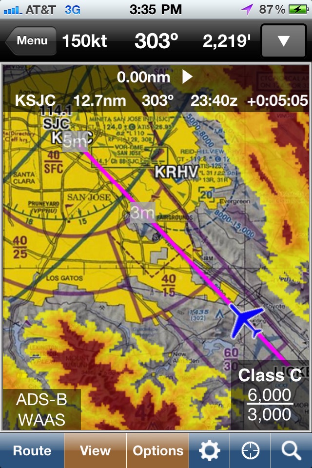
GPS-Enabled Moving Map
● VFR Sectionals, IFR Enroute Low and High, TACs, Flyways, Helicopter, Grand Canyon, and IFR Area charts
● Wx Overlays including NEXRAD composite and many other weather overlay types with animation, transparency, and low-bandwidth option (e.g. hotel rooms)
● DP, STAR, and IAP Routing (iPad only)
● North Up or Track Up
● Split Screen
● Business locations on Airport Diagrams
● ADS-B In-Flight Weather and Traffic
● X-Plane and MS Flight Sim compatible
● Ground Proximity Warning System (GPWS) - terrain and obstacles
● SmartTaxi™ - advanced taxi warning system
● FlightShare™ - share routes on the ground or in the air!
● traca™ Technology - simply draw the route
● WingX Rewind™ - record and playback flights including GPS, AHRS, and Pitot-Static.
● Auto switch to Airport Diagram
● Class B Transitions
● Search And Rescue Grids and Patterns (old/new) - Parallel, Square, Sector, and Auto Fill Grid - supports MGRS
● Overlay terrain and obstacles (terrain up to 60N)
● State Lines
● Airspace overlays
● Airspace Notifications
● Passive RADAR Altimeter - Terrain Elevation or AGL
● Terrain Profile View - with climb angle and 500fpm descent lines
● AHRS-driven Attitude Indicator
● Built-in Simulator
● Extra dimming for night operations
● Rubber-Banding
● User-Defined Waypoints
● Multi-Page Notepad with Undo
● Runway Extensions and Traffic Patterns
● Easy GPS Calibration - tap on moving maps altitude
● Count-Up/Down timers
● Numerous aircraft icons
● Stadium TFRs
Approach Charts
● Print charts wirelessly
● Rotate DPs and STARs
● Draw on approach charts
Wx Text
● Color-coded and decoded METARs, TAFs, winds/temps aloft
● METAR Density Altitude and Freezing Levels
Route Planning
● Victor Airways, Jetways, DPs, STARs, and even IAPs!
● Total and Longer Than Direct distances
● Flight Log shows Headings, GS, ETE, Fuel Burn using winds aloft
● Optimize Altitude for winds aloft
Flight Service
● Flight Plans and Weather Briefings with Leidos. Can be reused for fast filing
● File, Close, and Cancel flight plans
● Route and Area Weather Briefings
● Aircraft Manager for auto-fill
E6B
● TAS
● Conversions
● Distance-Speed-Time
● Pressure/Density Altitude
● Winds Aloft
● Runway Winds
● IFR Climb
● Descent Rate
Documents
● ACS and PTS
● Parts of the AIM
● AC61-65H - Including Endorsements
● AC61-67C - Stall and Spin Awarenes
● Pilot/Controller Glossary
● Aeronautical Contractions
● User-Documents
Integrated Help System
● Built-in mini-manual
Note: Continued use of GPS running in the background can dramatically decrease battery life.
Follow Us!
Twitter: @hiltonsoftware
Facebook: @hiltonsoftware
Instagram: @hilton.software
Pros and cons of WingX app for iPhone and iPad
WingX app good for
At first I wasnt inclined to subscribe - not because of WingX features, but more because of having read reps that the ipad reflects direct sunlight and tends to overheat.
Good thing I didnt listen. The app is fantastic, working as advertised. Just did an IFR round trip KCNO-KRNM-KCNO and I am really impressed! (ipad was subjected to direct sunlight and temps of 90+ F)
WingX is intuitive to use and provides all vital information. That in conjunction with a very accurate geo referenced moving map (VFR, IFR low altitude enroute, Stars, Sids, AP safe taxi, whether..). I thoroughly enjoyed the flight with WingX!
On a side note.. if you are flying PA28s, dont use a suction cup assembly - the ipad blocks a good part of your outside vision. What works really well with no obstruction of instruments is RAMs yoke mount. I took some pics, but unfortunally am unable to post them here.
Anyways, go for it - it really reduces nav workload and improves situational awareness greatly. Of course, you all know that this only can be used as a backup and is not officially to be used as the primary means of navigation.
Fly safely everyone,
Fabian
best product out there. too bad nothing like this is available for Canada.....
This is brilliant software for the active, knowledgeable pilot: its enjoyable to use, cleverly designed, intuitively ergonomic, and amazingly useful. There is the odd small snag, but Ive found Hilton Software to be quick to address them and keen to improve. Ive gladly switched from mountains of paper charts and approach plates to this nifty piece of programming. I use WingX both on my iPhone and on my iPad, and have even found the iPhone version sufficient for cross-country IFR trips. The route planner is far easier to use than Foreflights, and the split map view is fantastic for switching between enroute charts and approach plates. -R. Rosenkranz, Victoria, BC, Canada
I do like this app but it could be much better. The fact that they give CFIs a free subscription cant be beat. Very smart on their behalf.
The user interface needs a makeover for 21st century human factors. The sectional is very cluttered at the default settings. Right out of the box many annoying features must be disabled to make the sectional user friendly for a pilot. It certainly seems it was designed for people who are not pilots or cannot read sectionals. For example, "Heading Ind," a gigantic annoying compass rose, VORs, state borders, etc, etc, all must be disabled in the settings before I use the app. All this data is right there on the sectional already and is just clutter overlaid by the app.
A note to the developers: please, please, please for the love of God make there a way to disable those annoying airport labels on the sectional. Also, as stated below, the ability to selectively download individual sectionals as well as terrain data for the synthetic vision (which cannot be used without an external AHRS, anyway) should be features added in the next update.
I have been using this app for more than five years and know it well, many of my fellow pilots show me Foreflight and I show them features that I would not fly without.
The biggest is the split screen, I can have my sectional or ifr chart on one screen and an approach plate on the other with geo reference of my plane on both. If you fly ifr, is is the best app out there.
Download it and give it a try. You will love it.
Theres a lot of options in the EFB space these days, but for me, WingX is the clear leader when it comes to introducing innovative new features. It also continues to have the best interface for actual in-cockpit use.
If you are VFR only, the WingX basic subscription includes many features Brand F and Brand G reserve for their premium subscriptions making WingX great value to boot.
Some bad moments
I was thoroughly disappointed with software as it has absolutely zero Canadian coverage. No airspace, maps, airports (other than a very few major ones on the border but no info on them). I was even more disappointed with their customer support. After a week not a peep. My recommendation is to save your bucks an purchase the $39.95 Air Nav Pro. Less expensive, better coverage, and certainly better customer service. I really feel as if I wasted $99.
Whats with the lack of Canadian coverage? Good thing I got a free 30 day trail otherwise I would have felt pretty ripped off.
Its not just Canadian pilots asking for Canadian coverage, US pilots fly to Canada by the hundreds each day. This might be a good program for non professional Private pilots who dont travel much. But true professional pilots will want an app that works at all north american airports. Time to get on the ball WingX or its back to ForeFlight for me and a lot of other pilots.
This program costa 99 cents and so you assume some level of usability out of the gate, but the app is completely useless unless you pay for the additional annual subscription which I have intention of doing. So I just paid for a useless app. Thanks a lot. Claick bait!
The downloads are unnecessarily large. Absolutely need to be able to select which sectionals to download instead of having to download the entire US and having it consume your devices storage.
I took a four year hiates from flying and got back into it again last year. I had the best of avionics including a Garman 430. This program is really better in many respects and Only requires an iPad and a GPS transmitter. Im only flying vfr now but could not have done the flights I have done in the busy northeast corrider weaving my way around different air spaces. Its a great GPS and has many many other functions that I dont really use. I Love this program. thank you
Dont have time for all the sign ups and downloads. Staying with ForeFlight.
Usually WingX iOS app used & searched for
pro7,
ads-b,
notam,
aviation weather,
wingx pro7,
hilton software llc,
hilton service app,
and other. So, download free WingX .ipa to run this nice iOS application on iPhone and iPad.